Smart Solutions for
Product Development
OUR PROJECT
Our solution leverages cutting-edge technology to develop a system that delivers results that are both innovative and highly effective.
MyGeoServe
The MyGeoServe Portal is a geospatial data-sharing platform designed with a Service-Oriented Architecture (SOA) to facilitate seamless integration. It operates through a centralized database, the core repository for all geospatial information.
Client :
Jabatan Ukur dan Pemetaan Malaysia (JUPEM)
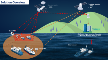
THEMIS
THEMIS is a web application that designed by CLS specifically to support the objectives of fisheries management agencies. The Themis software installation service will carry out technical work at the Fisheries Department.
Client :
Jabatan Perikanan Malaysia
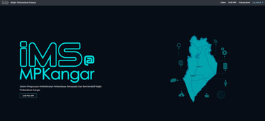
iMS@MPKangar
An integrated and interactive GIS mapping platform containing controlled information related to local authority services, connected to a mobile application developed alongside the platform.
Client :
Majlis Perbandaran Kangar
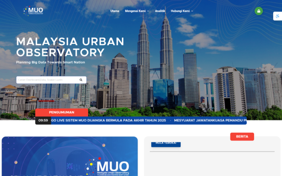
MUO
Malaysia Urban Observatory (MUO) is an urban big data analytics platform that monitor the level of well-being and sustainability of cities in Malaysia through physical, social, urbanization, economic and environmental aspects.
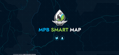
MPB SmartMap
MPB SmartMap is a digital initiative by Majlis Perbandaran Bentong that leverages Geospatial technology through the GIS Platform to enhance existing management and operations.
Client :
Majlis Perbandaran Bentong
MAP2U SDN BHD (1020669-U)
PT9951, Jalan BBN 1/3k, Pusat Bandar Putra
Point, 71800 Nilai, Negeri Sembilan, Malaysia

Welcome to our website!
Nice to meet you! If you have any question about our
services, feel free to contact us.
Chat with us